
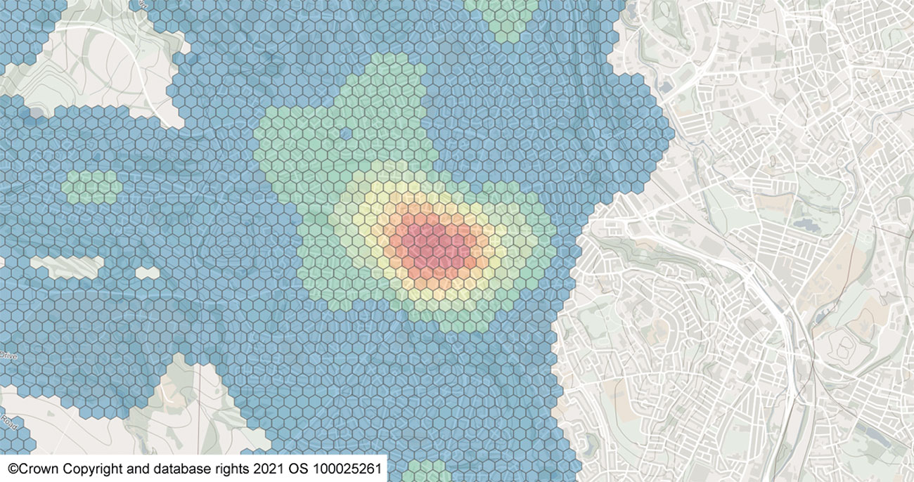
UK fire and rescue services have an extensive range of obligations. These extend from front-line response, covering a wide variety of incident types, to community engagement/prevention work, fire investigation, and protection and risk management planning. With budget cuts and increasing pressure on resources, alongside evolving statutory requirements and inspections by Her Majesty’s Inspectorate of Constabulary and Fire & Rescue Services (HMICFRS), it has never been so crucial for fire services to align resources to risk. It is imperative to take a justified, data-driven, intelligence-led approach to response, planning, decision making and evaluation.
Location lies at the heart of fire and rescue resource planning, risk analysis and strategic management. Using a Geographic Information System (GIS), spatial data can be combined with other data sources to create powerful applications for analysis, modelling and visualisation. Applications and data products can be created and developed to support all stages of an incident life cycle. These can range from mobilisation in the control room through to incident command on the fireground and fire investigation, to later analyse patterns, quantify risk and model operational changes.
Cadcorp works with a combination of both fire service and Ordnance Survey data to create detailed, bespoke risk models ranging from geographical areas to individual addresses. Your organisation could be looking to create an overall review of community risk, make a strategic assessment of resource locations, model degradation scenarios, or prioritise the order in which addresses should be targeted for interventions. If so, you can benefit from Cadcorp’s expertise and experience within both fire and rescue and GIS. An auditable, intelligence-led approach can provide a strong base against scrutiny and allows metrics for internal evaluation moving forwards.

Cadcorp services and software are used for but are not limited to:
- Command and Control Data: for more efficient and accurate mobilising. Road speed modelling, turnout times, backup systems for dynamic mobilising systems
- Incident Management: geographical data on the fireground, delivered on mobile devices
- Cover Modelling: static and dynamic operational coverage, with consideration for underlying risk
- Resource Optimisation: degradation planning, optimal resource locations and attendance time analysis
- Scenario Modelling: assessing the impact of changes in shift patterns, duty systems, appliances and station locations
- Response Standard Analysis: blanket or variable standards, aligned to risk
- Integrated Risk Management Planning/Community Risk Assessment: holistic area profiling, risk modelling at property and area level
- Targeting and Prioritisation: for prevention and protection activities, audits, Safe and Well visits
- Community Campaigning: area profiling for targeting community events
- On-Call Recruitment: geographical and workforce profiling around on-call fire stations
- Evaluation: post-change analysis of operational impact
- Information Dissemination: for internal and public consumption
Contact Cadcorp to discuss any ideas or requirements at your organisation. Our team of specialists can provide both a quality assurance service, or full project consultancy that is tailored to best meet your organisational requirements.
Cadcorp understands that collaboration between fire services is key. We run an active customer community and host UK Emergency Services conferences. To learn more about the next event, go to https://cdcp.io/esc21
For more information, go to https://www.cadcorp.com/
Certain digital data images are reproduced from Ordnance Survey GB, with permission of Her Majesty’s Stationery Office. ©Crown Copyright and database rights 2021 OS 10002526

You must be logged in to post a comment.