

A fire report can show where a fire is. A weather warning can show where dangerous conditions are expected. But the next question is often just as important: what is the weather doing around it?
Ventusky has expanded its weather platform with safety information that helps answer that question. The app now shows satellite-detected fires, official fire incidents and official meteorological and hydrological warnings.
The value is in seeing hazards together with the weather factors that can shape them: wind, humidity, precipitation, temperature, satellite imagery and air quality. These conditions can influence how a fire spreads, where smoke moves, how severe a storm becomes or which areas may need closer attention.
Fire markers in Ventusky combine several sources. Global fire detection uses NASA FIRMS data based on VIIRS satellite measurements, supported by observations from MTG and Himawari geostationary satellites. In the United States, Canada and Australia, Ventusky also shows official fire incidents reported by firefighting agencies. These records can include affected area, intensity, number of fire personnel, fuel type or percentage of containment. Prescribed burns are marked separately from uncontrolled fires.

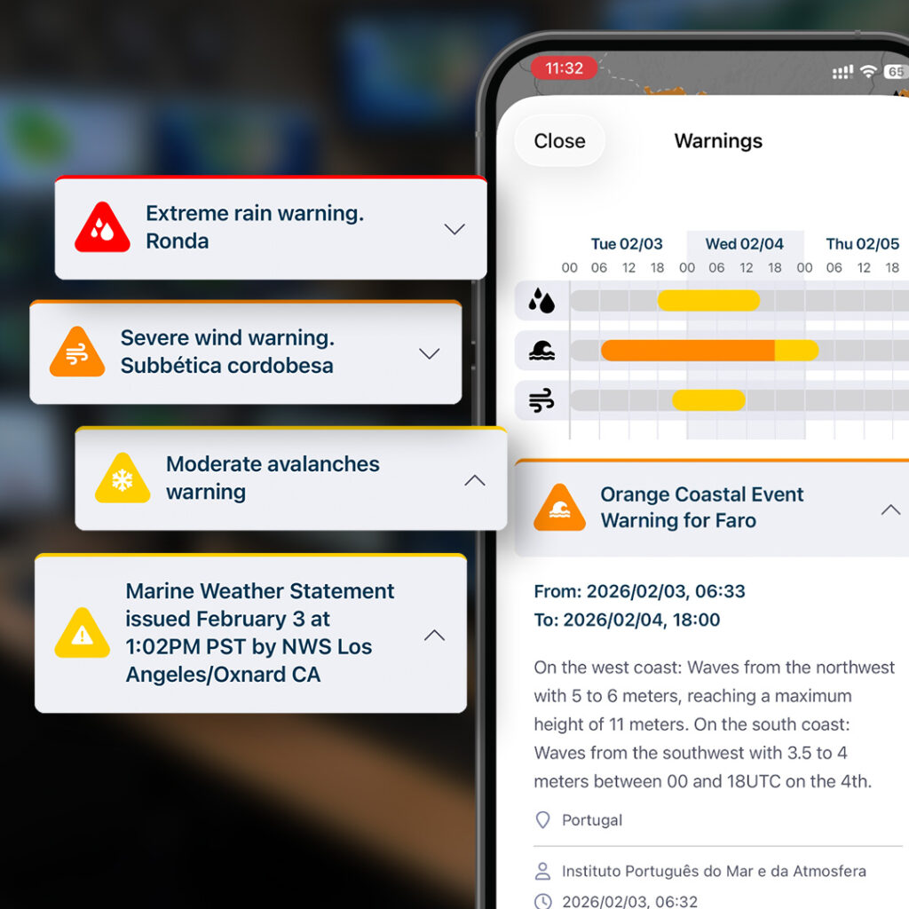
Official warnings come from national meteorological and hydrological services. They cover hazards such as strong wind, thunderstorms, heavy rain, flooding, snow, ice, extreme temperatures and fire weather.
Ventusky is not meant to replace official emergency communication. It gives residents, journalists, local authorities and emergency responders a quick visual context around a developing situation. The app keeps this information in a clean interface without advertising, and key fire and warning information is available without a paid subscription.
Ventusky is available at ventusky.com, on the App Store and on Google Play.

You must be logged in to post a comment.